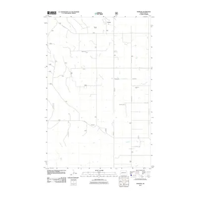
2011 Map of Fryburg
USGS Topo · Published 2011About this map
Fryburg stands as the primary settlement in this corner of Billings County, defined by a landscape of sprawling ranches and petroleum extraction. The presence of the Fryburg Oil Field near the northern border signals the region's industrial ties, while the rest of the terrain is marked by family-named landholdings. These include Mattison Ranch, Brueni Ranch, and Ingman Ranch, illustrating a settlement pattern based on large-scale livestock and agricultural operations.
Find a feature on this map
22 named features on this map. Tap any name to fly to it.
Don’t see what you’re looking for? This feature index may not catch every label — zoom into the map to look around manually.
Map Details
Editions of this 2011 Fryburg Map
This is the sole edition of this map. No revisions or reprints were ever made.
Other maps of this area

1953 · Dickinson
USGS Topo · 1:250,000

1957 · Dickinson
USGS Topo · 1:250,000

1961 · Daglum
USGS Topo · 1:62,500

1961 · Rocky Ridge
USGS Topo · 1:62,500

1962 · Tracy Mountain
USGS Topo · 1:24,000

1962 · Fryburg NE
USGS Topo · 1:24,000

1962 · Belfield SW
USGS Topo · 1:24,000

1962 · Fryburg
USGS Topo · 1:24,000

1962 · Fryburg NW
USGS Topo · 1:24,000

1962 · Belfield
USGS Topo · 1:24,000