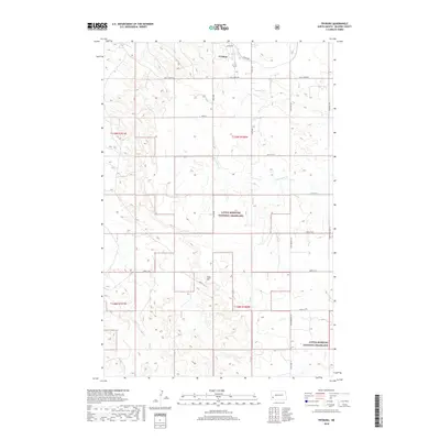
2018 Map of Fryburg
USGS Topo · Published 2018About this map
Fryburg anchors the northern edge of this high-plains landscape, where the plateau begins its descent into the broken topography of the Badlands. The settlement is surrounded by a grid of rural routes including Logan Ave and Sully Creek Rd, reflecting a period of established ranching and public land management. A significant portion of the area is designated as the Little Missouri National Grassland, a landscape defined by rolling prairie and drainages like Sully Cr and Norwegian Cr. Central to the terrain is Easy Hill, a notable high point that rises above the surrounding sections. The map traces the natural watercourses that have carved the land, such as Davis Cr in the south, illustrating the drainage patterns essential to this semi-arid environment during the late 2010s.
Find a feature on this map
19 named features on this map. Tap any name to fly to it.
Don’t see what you’re looking for? This feature index may not catch every label — zoom into the map to look around manually.
Map Details
Editions of this 2018 Fryburg Map
This is the sole edition of this map. No revisions or reprints were ever made.
Other maps of this area

1953 · Dickinson
USGS Topo · 1:250,000

1957 · Dickinson
USGS Topo · 1:250,000

1961 · Daglum
USGS Topo · 1:62,500

1961 · Rocky Ridge
USGS Topo · 1:62,500

1962 · Tracy Mountain
USGS Topo · 1:24,000

1962 · Fryburg NE
USGS Topo · 1:24,000

1962 · Belfield SW
USGS Topo · 1:24,000

1962 · Fryburg
USGS Topo · 1:24,000

1962 · Fryburg NW
USGS Topo · 1:24,000

1962 · Belfield
USGS Topo · 1:24,000