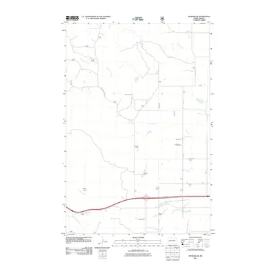
2011 Map of Fryburg NE
USGS Topo · Published 2011About this map
Lindbo Ranch and several other family-held agricultural properties define this portion of Billings County in the early 21st century. The landscape is deeply carved by drainage systems including Franks Creek, Government Creek, and the Heart River, which flows through the central portion of the quadrangle. These watercourses have created notable terrain features such as Cedar Canyon in the southwest, illustrating the erosional character of the North Dakota badlands region.
Find a feature on this map
22 named features on this map. Tap any name to fly to it.
Don’t see what you’re looking for? This feature index may not catch every label — zoom into the map to look around manually.
Map Details
Editions of this 2011 Fryburg NE Map
This is the sole edition of this map. No revisions or reprints were ever made.
Other maps of this area

1953 · Dickinson
USGS Topo · 1:250,000

1953 · Watford City
USGS Topo · 1:250,000

1957 · Dickinson
USGS Topo · 1:250,000

1957 · Watford City
USGS Topo · 1:250,000

1962 · Tracy Mountain
USGS Topo · 1:24,000

1962 · Fryburg NE
USGS Topo · 1:24,000

1962 · Belfield SW
USGS Topo · 1:24,000

1962 · Fryburg
USGS Topo · 1:24,000

1962 · Fryburg NW
USGS Topo · 1:24,000

1962 · Belfield
USGS Topo · 1:24,000