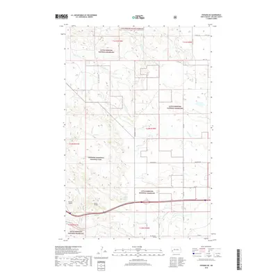
2018 Map of Fryburg NE
USGS Topo · Published 2018About this map
Little Missouri National Grassland dominates this portion of Billings County, where the high plains of western North Dakota break into the intricate drainages of the Badlands. The landscape is defined by the sharp descents into Painted Canyon and Cedar Canyon in the southwest, while the upper reaches of the Heart River and Government Cr wind through the north. This 2018 survey illustrates a complex land management pattern where the Theodore Roosevelt National Park boundary meets federal grassland and private holdings.
Find a feature on this map
25 named features on this map. Tap any name to fly to it.
Don’t see what you’re looking for? This feature index may not catch every label — zoom into the map to look around manually.
Map Details
Editions of this 2018 Fryburg NE Map
This is the sole edition of this map. No revisions or reprints were ever made.
Other maps of this area

1953 · Dickinson
USGS Topo · 1:250,000

1953 · Watford City
USGS Topo · 1:250,000

1957 · Dickinson
USGS Topo · 1:250,000

1957 · Watford City
USGS Topo · 1:250,000

1962 · Tracy Mountain
USGS Topo · 1:24,000

1962 · Fryburg NE
USGS Topo · 1:24,000

1962 · Belfield SW
USGS Topo · 1:24,000

1962 · Fryburg
USGS Topo · 1:24,000

1962 · Fryburg NW
USGS Topo · 1:24,000

1962 · Belfield
USGS Topo · 1:24,000