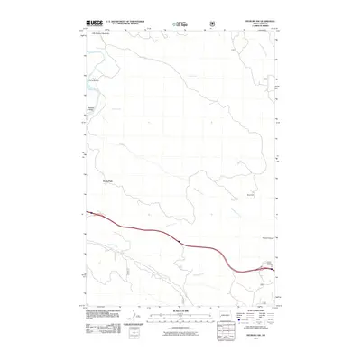
2011 Map of Fryburg NW
USGS Topo · Published 2011About this map
The Little Missouri Badlands dominate this western North Dakota landscape, where the deeply carved terrain meets the winding course of the Little Missouri River. This 2011 survey illustrates a region defined by dramatic erosion and topographical landmarks, including Scoria Point and the high vantage of Buck Hill. The map captures the intersection of natural history and modern access, with the Interstate corridor passing south of Painted Canyon and its designated Painted Canyon Overlook.
Find a feature on this map
16 named features on this map. Tap any name to fly to it.
Don’t see what you’re looking for? This feature index may not catch every label — zoom into the map to look around manually.
Map Details
Editions of this 2011 Fryburg NW Map
This is the sole edition of this map. No revisions or reprints were ever made.
Other maps of this area

1953 · Dickinson
USGS Topo · 1:250,000

1953 · Watford City
USGS Topo · 1:250,000

1957 · Dickinson
USGS Topo · 1:250,000

1957 · Watford City
USGS Topo · 1:250,000

1962 · Tracy Mountain
USGS Topo · 1:24,000

1962 · Fryburg NE
USGS Topo · 1:24,000

1962 · Fryburg
USGS Topo · 1:24,000

1962 · Fryburg NW
USGS Topo · 1:24,000

1963 · Gorham SW
USGS Topo · 1:24,000

1963 · Gorham SE
USGS Topo · 1:24,000