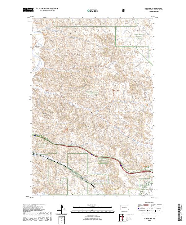
2024 Map of Fryburg NW
USGS Topo · Published 2024About this map
Theodore Roosevelt National Park and the surrounding Little Missouri National Grassland define this western North Dakota landscape. The map detail highlights the intricate drainage systems of the Little Missouri River as it carves through the badlands, creating distinctive terrain features like Beef Corral Bottom and the wash that bears its name. For those studying the history of land use and conservation in Billings County, the sheet traces a network of paths including the Old East Entrance Trl and Jones Creek Trl, which connect natural landmarks such as Scoria Point and Peaceful Valley. This modern data illustrates how water sources like Boicourt Spring and Sheep Butte Spring remain central to the geography of this protected wilderness area.
Find a feature on this map
32 named features on this map. Tap any name to fly to it.
Don’t see what you’re looking for? This feature index may not catch every label — zoom into the map to look around manually.
Map Details
Editions of this 2024 Fryburg NW Map
This is the sole edition of this map. No revisions or reprints were ever made.
Other maps of this area

1953 · Dickinson
USGS Topo · 1:250,000

1953 · Watford City
USGS Topo · 1:250,000

1957 · Dickinson
USGS Topo · 1:250,000

1957 · Watford City
USGS Topo · 1:250,000

1962 · Tracy Mountain
USGS Topo · 1:24,000

1962 · Fryburg NE
USGS Topo · 1:24,000

1962 · Fryburg
USGS Topo · 1:24,000

1962 · Fryburg NW
USGS Topo · 1:24,000

1963 · Gorham SW
USGS Topo · 1:24,000

1963 · Gorham SE
USGS Topo · 1:24,000