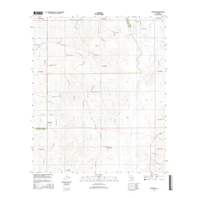
2015 Map of Fryeburg
USGS Topo · Published 2015About this map
Fryeburg sits at the intersection of local routes in a landscape defined by the winding course of Black Lake Bayou and its numerous tributaries. This area of Bienville and Webster Parishes is characterized by a network of drainage features like Bashaway Cr, Madden Mill Cr, and Horse Lot Br that feed into the central bayou system. The settlement pattern is largely rural, with the community of Lawhon to the south and family-named landmarks scattered throughout the terrain.
Find a feature on this map
71 named features on this map. Tap any name to fly to it.
Don’t see what you’re looking for? This feature index may not catch every label — zoom into the map to look around manually.
Map Details
Editions of this 2015 Fryeburg Map
This is the sole edition of this map. No revisions or reprints were ever made.
Other maps of this area

1947 · Ringgold
USGS Topo · 1:62,500

1947 · Minden
USGS Topo · 1:62,500

1948 · Jamestown
USGS Topo · 1:62,500

1949 · Jamestown
USGS Topo · 1:62,500

1949 · Minden
USGS Topo · 1:62,500

1949 · Gibsland
USGS Topo · 1:62,500

1950 · Gibsland
USGS Topo · 1:62,500

1955 · Shreveport
USGS Topo · 1:250,000

1956 · Shreveport
USGS Topo · 1:250,000

1956 · Ringgold
USGS Topo · 1:62,500