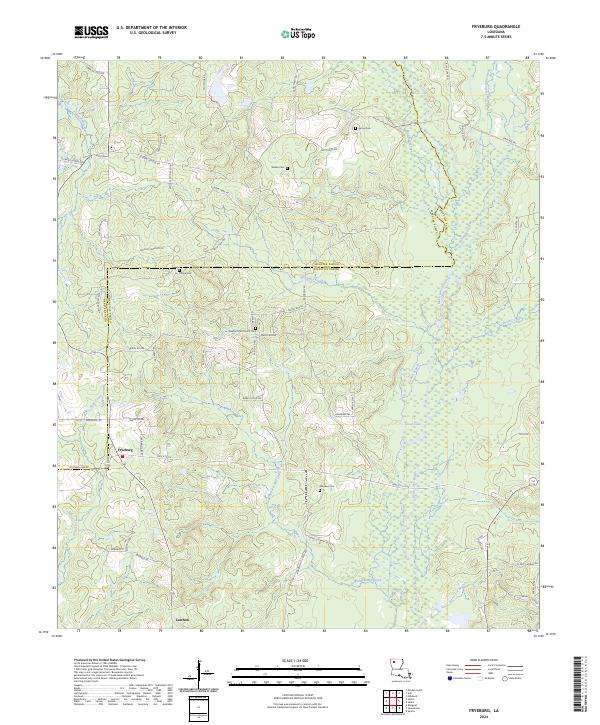
2024 Map of Fryeburg
USGS Topo · Published 2024About this map
Fryeburg and Lawhon anchor this section of Northern Louisiana, where the border between Webster Parish and Bienville Parish weaves through a landscape defined by meandering waterways and family-named landmarks. The drainage network is particularly prominent, featuring Black Lake Bayou and its many tributaries like Poland Branch and Mid Branch, alongside Clear Lake. Genealogists and local historians will find significant value in the distribution of family cemeteries across the area, including Gamel Cem, Walker Cem, and Moore Cem. The road system, often following the natural contours of the creeks, includes routes such as Central School Rd and Mims Grocery Rd, reflecting a rural community structure that remains centered on small settlements and local landmarks like the Pleasant Hill Church Cem.
Find a feature on this map
72 named features on this map. Tap any name to fly to it.
Don’t see what you’re looking for? This feature index may not catch every label — zoom into the map to look around manually.
Map Details
Editions of this 2024 Fryeburg Map
This is the sole edition of this map. No revisions or reprints were ever made.
Other maps of this area

1947 · Ringgold
USGS Topo · 1:62,500

1947 · Minden
USGS Topo · 1:62,500

1948 · Jamestown
USGS Topo · 1:62,500

1949 · Jamestown
USGS Topo · 1:62,500

1949 · Minden
USGS Topo · 1:62,500

1949 · Gibsland
USGS Topo · 1:62,500

1950 · Gibsland
USGS Topo · 1:62,500

1955 · Shreveport
USGS Topo · 1:250,000

1956 · Shreveport
USGS Topo · 1:250,000

1956 · Ringgold
USGS Topo · 1:62,500