
1953 Map of Frying Pan
USGS Topo · Published 1956About this map
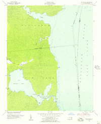
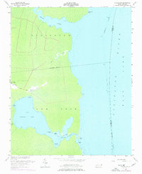
Gum Neck dominates this coastal landscape in the early 1950s, a peninsula defined by the expansive waters of the Alligator River and the inlet known as The Frying Pan. The small settlement of Frying Pan is positioned along the Frying Pan Road, serving as a focal point for local life alongside Free Union Ch and a nearby Cem. This survey illustrates a remote corner of eastern North Carolina where transport shifted from the winding Goose Creek to the engineered Basnight Canal.
Find a feature on this map
26 named features on this map. Tap any name to fly to it.
Don’t see what you’re looking for? This feature index may not catch every label — zoom into the map to look around manually.
Map Details
Editions of this 1953 Frying Pan Map
3 editions found
Other maps of this area

1943 · Columbia
USGS Topo · 1:125,000

1943 · Roanoke Island
USGS Topo · 1:125,000

1953 · Engelhard NW
USGS Topo · 1:24,000

1953 · Buffalo City
USGS Topo · 1:24,000

1953 · Fairfield NE
USGS Topo · 1:24,000

1953 · Columbia East
USGS Topo · 1:24,000

1953 · Scotia
USGS Topo · 1:24,000
1953 · East Lake
USGS Topo · 1:24,000

1953 · Fairfield NW
USGS Topo · 1:24,000
1953 · Fort Landing
USGS Topo · 1:24,000