
1906 Map of Ft. McDowell
USGS Topo · Published 1906About this map
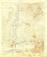
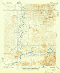
Camp Mc Dowell Indian Reservation and the Salt River Indian Reservation dominate this Arizona landscape at the confluence of two major desert waterways. Along the Verde River, the historic Fort Mc Dowell Mc Dowell P O serves as a primary point of settlement, while numerous family-named homesteads including Asher's Ranch, Adams' Ranch, and Monroys Ranch are scattered throughout the river valleys. The irrigation infrastructure of the early twentieth century is visible through the Arizona Canal and Highland Canal, fed by the Arizona Dam on the Salt River. This survey captures the region's transition from a military outpost to an agricultural and ranching landscape, shaped by the Goldfield Mountains to the southeast and the looming presence of Mt Mc Dowell overlooking the river forks.
Find a feature on this map
40 named features on this map. Tap any name to fly to it.
Don’t see what you’re looking for? This feature index may not catch every label — zoom into the map to look around manually.
Map Details
Editions of this 1906 Ft. McDowell Map
3 editions found
Other maps of this area

1900 · Florence
USGS Topo · 1:125,000

1902 · Florence
USGS Topo · 1:125,000

1904 · Camelback
USGS Topo · 1:62,500

1904 · Desert Well
USGS Topo · 1:62,500

1904 · Ft. McDowell
USGS Topo · 1:62,500

1906 · Camelsback
USGS Topo · 1:62,500

1906 · Desert Well
USGS Topo · 1:62,500

1907 · Roosevelt
USGS Topo · 1:125,000

1909 · Four Peaks
USGS Topo · 1:125,000

1912 · Roosevelt
USGS Topo · 1:125,000