
1956 Map of Ft. Ogden
USGS Topo · Published 1957About this map
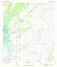
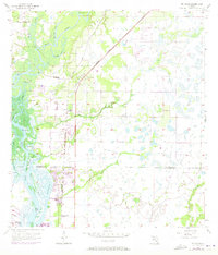
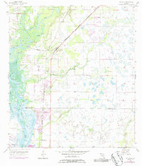
The Peace River meanders through this portion of DeSoto and Charlotte counties, creating a complex network of wetlands and islands like Cow Island and Island 33. The settlement of Ft Ogden serves as a central hub, flanked by the Atlantic Coast Line and Seaboard Air Line railroads which cross the landscape toward the coast. These rail lines highlight the mid-century transportation infrastructure that supported the local phosphate and agricultural economies.
Find a feature on this map
28 named features on this map. Tap any name to fly to it.
Don’t see what you’re looking for? This feature index may not catch every label — zoom into the map to look around manually.
Map Details
Editions of this 1956 Ft. Ogden Map
4 editions found
Other maps of this area

1956 · Arcadia SE
USGS Topo · 1:24,000

1956 · Murdock SE
USGS Topo · 1:24,000

1956 · Murdock NE
USGS Topo · 1:24,000

1956 · Cleveland
USGS Topo · 1:24,000

1956 · Nocatee
USGS Topo · 1:24,000

1956 · Bermont
USGS Topo · 1:24,000

1956 · West Palm Beach
USGS Topo · 1:250,000

1956 · Tampa
USGS Topo · 1:250,000

1956 · Fort Pierce
USGS Topo · 1:250,000

1956 · Charlotte Harbor
USGS Topo · 1:250,000