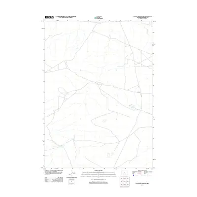
2012 Map of Fuller Reservoir
USGS Topo · Published 2012About this map
Fuller Reservoir sits at the center of this 2012 survey, illustrating the critical role of water management in the arid landscape of Fremont County. The map details a series of catchments across the high plains, including Allard Reservoir to the north and Brody Reservoir further west. These features, along with Deadman Reservoir, reveal the infrastructure necessary for supporting ranching and livestock in this portion of the Wyoming interior.
Find a feature on this map
8 named features on this map. Tap any name to fly to it.
Don’t see what you’re looking for? This feature index may not catch every label — zoom into the map to look around manually.
Map Details
Editions of this 2012 Fuller Reservoir Map
This is the sole edition of this map. No revisions or reprints were ever made.
Other maps of this area

1951 · Fuller Reservoir
USGS Topo · 1:24,000

1951 · Indian Butte
USGS Topo · 1:24,000

1951 · Hidden Valley
USGS Topo · 1:24,000

1951 · Shoshoni
USGS Topo · 1:24,000

1952 · Ocla Draw
USGS Topo · 1:24,000

1952 · Double Butte
USGS Topo · 1:24,000

1952 · Haybarn Hill
USGS Topo · 1:24,000

1953 · Campbell Ridge
USGS Topo · 1:24,000

1955 · Thermopolis
USGS Topo · 1:250,000

1955 · Arminto
USGS Topo · 1:250,000