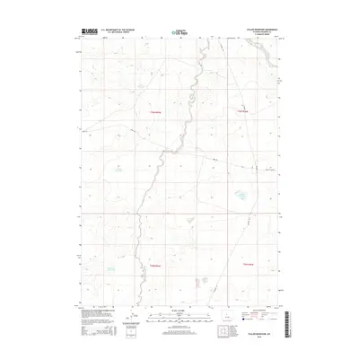
2015 Map of Fuller Reservoir
USGS Topo · Published 2015About this map
Dry Cheyenne Creek meanders through the heart of this high-plains landscape, where the management of water defines the human footprint. This 2015 survey by the U.S. Geological Survey illustrates a network of essential water storage features supporting ranching or local industry, including Allard Reservoir, Brody Reservoir, and Deadman Reservoir. The terrain is marked by the expansive Public Land Survey System grid, which organizes the vast reaches of t36n r94w and surrounding townships. Infrastructure is sparse but critical, primarily consisting of unpaved access routes such as Muskrat Rd and Nebo Rd. The mapping of Fuller Reservoir and its neighbors provides a detailed look at how these arid stretches of Fremont County were utilized in the early 21st century.
Find a feature on this map
12 named features on this map. Tap any name to fly to it.
Don’t see what you’re looking for? This feature index may not catch every label — zoom into the map to look around manually.
Map Details
Editions of this 2015 Fuller Reservoir Map
This is the sole edition of this map. No revisions or reprints were ever made.
Other maps of this area

1951 · Fuller Reservoir
USGS Topo · 1:24,000

1951 · Indian Butte
USGS Topo · 1:24,000

1951 · Hidden Valley
USGS Topo · 1:24,000

1951 · Shoshoni
USGS Topo · 1:24,000

1952 · Ocla Draw
USGS Topo · 1:24,000

1952 · Double Butte
USGS Topo · 1:24,000

1952 · Haybarn Hill
USGS Topo · 1:24,000

1953 · Campbell Ridge
USGS Topo · 1:24,000

1955 · Thermopolis
USGS Topo · 1:250,000

1955 · Arminto
USGS Topo · 1:250,000