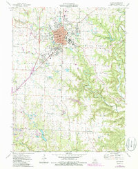
1975 Map of Fulton
USGS Topo · Published 1986About this map
Fulton serves as a dense educational and institutional hub for central Missouri in this mid-1970s survey, centered on the historic campuses of Westminster College and William Woods College. The town's grid expands into West Fulton and East Fulton, anchored by essential civic structures including the Courthouse, the School for the Deaf, and the Hearnes Youth Center. The surrounding landscape is heavily marked by the region's industrial ties to clay extraction, with numerous claypits scattered across the terrain near Stinson Creek and Denton Creek.
Find a feature on this map
66 named features on this map. Tap any name to fly to it.
Don’t see what you’re looking for? This feature index may not catch every label — zoom into the map to look around manually.
Map Details
Editions of this 1975 Fulton Map
2 editions found
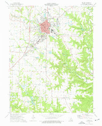
Other maps of this area

1886 · Jefferson City
USGS Topo · 1:125,000

1890 · Fulton
USGS Topo · 1:125,000

1894 · Jefferson City
USGS Topo · 1:125,000

1928 · Fulton
USGS Topo · 1:62,500

1931 · Fulton
USGS Topo · 1:62,500

1939 · Jefferson City
USGS Topo · 1:62,500

1942 · Jefferson City
USGS Topo · 1:62,500

1944 · Millersburg
USGS Topo · 1:62,500

1945 · Mokane
USGS Topo · 1:62,500

1946 · Millersburg
USGS Topo · 1:62,500