
2022 Map of Funston
USGS Topo · Published 2022About this map
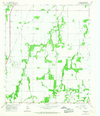
Funston and the surrounding rangeland of southern Jones County are defined by a network of drainage creeks and farm-to-market roads. This section of West Texas is characterized by its dispersed settlements like Corinth and New Hope, which serve as quiet anchors for the rural population. The landscape is primarily shaped by the winding paths of Redmud Cr and Spring Cr, which cut through the terrain toward the south.
Find a feature on this map
37 named features on this map. Tap any name to fly to it.
Don’t see what you’re looking for? This feature index may not catch every label — zoom into the map to look around manually.
Map Details
Editions of this 2022 Funston Map
This is the sole edition of this map. No revisions or reprints were ever made.
Other maps of this area

1891 · Anson
USGS Topo · 1:125,000

1893 · Anson
USGS Topo · 1:125,000

1954 · Abilene
USGS Topo · 1:250,000

1957 · Hawley
USGS Topo · 1:62,500

1957 · Nugent
USGS Topo · 1:62,500

1958 · Abilene
USGS Topo · 1:250,000

1965 · Tuxedo
USGS Topo · 1:24,000

1965 · Lueders NW
USGS Topo · 1:24,000

1965 · Lueders West
USGS Topo · 1:24,000
1965 · Funston
USGS Topo · 1:24,000