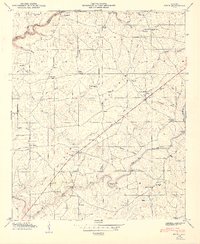
1949 Map of Fyffe
USGS Topo · Published 1949About this map
Sand Mountain dominates this portion of the DeKalb and Jackson county line, where agricultural life in the late 1940s is traced through a dense network of country churches and schools. The settlement of Fyffe serves as a central hub along the highway, surrounded by smaller communities like Ten Broeck, Gibson Crossroads, and Luttrell. The landscape is etched by the winding course of South Sauty Creek and Town Creek, with numerous fords and bridges such as Lawson Ford and Matheny Bridge facilitating movement across the terrain.
Find a feature on this map
70 named features on this map. Tap any name to fly to it.
Don’t see what you’re looking for? This feature index may not catch every label — zoom into the map to look around manually.
Map Details
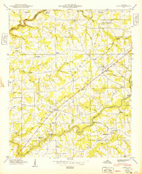
Editions of this 1949 Fyffe Map
2 editions found
Other maps of this area

1885 · Gadsden
USGS Topo · 1:125,000

1886 · Stevenson
USGS Topo · 1:125,000

1888 · Gadsden
USGS Topo · 1:125,000

1888 · Scottsboro
USGS Topo · 1:125,000

1892 · Scottsboro
USGS Topo · 1:125,000

1892 · Stevenson
USGS Topo · 1:125,000

1892 · Gadsden
USGS Topo · 1:125,000

1893 · Fort Payne
USGS Topo · 1:125,000

1895 · Stevenson
USGS Topo · 1:125,000

1895 · Gadsden
USGS Topo · 1:125,000