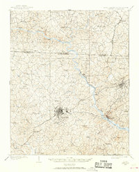
1909 Map of Gaffney
USGS Topo · Published 1968About this map
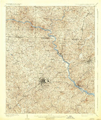
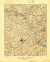
Gaffney and Blacksburg serve as the primary hubs of this region surveyed in 1907, showing a landscape defined by the winding Broad River and the heavy industrial presence of the Southern and Atlanta railroads. The map details a transition from industrial activity at Cherokee Falls and Gaston Shoals to the rural backcountry of Cherokee and Cleveland counties.
Find a feature on this map
86 named features on this map. Tap any name to fly to it.
Don’t see what you’re looking for? This feature index may not catch every label — zoom into the map to look around manually.
Map Details
Editions of this 1909 Gaffney Map
4 editions found
Other maps of this area

1906 · Kings Mountain
USGS Topo · 1:62,500

1907 · Sharon
USGS Topo · 1:62,500

1908 · Kings Mountain
USGS Topo · 1:62,500

1909 · Gaffney
USGS Topo · 1:62,500

1909 · Lincolnton
USGS Topo · 1:62,500

1911 · Lincolnton
USGS Topo · 1:62,500

1941 · Spartanburg
USGS Topo · 1:250,000

1947 · Spartanburg
USGS Topo · 1:62,500

1949 · Spartanburg
USGS Topo · 1:62,500

1950 · Shelby
USGS Topo · 1:62,500