
1964 Map of Gafford Chapel
USGS Topo · Published 1968About this map
Gafford Chapel and the surrounding Hopkins County landscape are defined by a dense network of watercourses and early Texas transportation corridors in the mid-1960s. The St Louis Southwestern railroad cuts diagonally across the center, passing the community center and local churches like Pleasant Grove Ch and St Luke Ch. Further south, the Louisiana and Arkansas rail line skirts the edge of Webb, reflecting the region's historical reliance on these industrial arteries for movement and trade.
Find a feature on this map
20 named features on this map. Tap any name to fly to it.
Don’t see what you’re looking for? This feature index may not catch every label — zoom into the map to look around manually.
Map Details
Editions of this 1964 Gafford Chapel Map
This is the sole edition of this map. No revisions or reprints were ever made.
Other maps of this area

1953 · Texarkana
USGS Topo · 1:250,000

1956 · Texarkana
USGS Topo · 1:250,000

1962 · Miller Grove
USGS Topo · 1:24,000

1962 · Brashear
USGS Topo · 1:24,000

1964 · Cumby
USGS Topo · 1:24,000

1964 · Sulphur Springs
USGS Topo · 1:24,000

1964 · Klondike
USGS Topo · 1:24,000

1964 · Tira
USGS Topo · 1:24,000
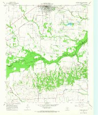
1964 · Cooper South
USGS Topo · 1:24,000
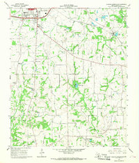
1964 · Sulphur Springs SE
USGS Topo · 1:24,000