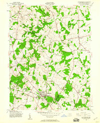
1945 Map of Gaithersburg
USGS Topo · Published 1960About this map
Gaithersburg and the planned community of Washington Grove serve as the primary hubs in this mid-1940s landscape, positioned along the tracks of the Baltimore and Ohio railroad. The map reveals a transition from these developing town centers to a sprawling network of rural crossroads and family-named communities. Distinct clusters such as Emory Grove, Stewart Town, and Prathertown are connected by winding roads that follow the high ground between the many branches of the Seneca Creek system. To the north, Laytonsville stands as a significant rural crossroads, while smaller settlements like Brink and Goshen dot the countryside. The presence of the Asbury Home and multiple unnamed schools and cemeteries provides valuable touchpoints for genealogists. The terrain is deeply defined by the drainage patterns of Great Seneca Creek, Little Seneca Creek, and Magruder Branch, which carve through the Montgomery County hillsides before the intensive suburbanization of later decades.
Find a feature on this map
34 named features on this map. Tap any name to fly to it.
Don’t see what you’re looking for? This feature index may not catch every label — zoom into the map to look around manually.
Map Details
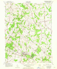
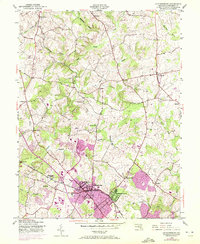
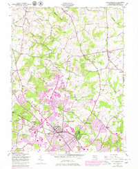
Editions of this 1945 Gaithersburg Map
4 editions found
Other maps of this area

1893 · Frederick
USGS Topo · 1:125,000

1894 · Frederick
USGS Topo · 1:125,000

1908 · Rockville
USGS Topo · 1:62,500

1908 · Seneca
USGS Topo · 1:62,500

1908 · Ijamsville
USGS Topo · 1:62,500

1909 · Mount Airy
USGS Topo · 1:62,500

1909 · Ijamsville
USGS Topo · 1:62,500

1923 · Rockville
USGS Topo · 1:62,500

1942 · Frederick
USGS Topo · 1:62,500

1944 · Germantown
USGS Topo · 1:31,680