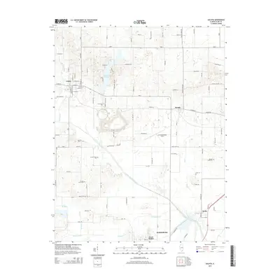
2015 Map of Galatia
USGS Topo · Published 2015About this map
The Middle Fork Saline River and its southern tributaries, Brushy Cr and Bankston Fork, define the drainage and settlement patterns of this section of Saline County. The landscape is characterized by a high concentration of ancestral burial sites, including the Simpson Family Cem, Stricklin Family Cem, and Baker Family Cem, reflecting generations of rural family landholdings. To the south, the city of Harrisburg and the community of Dorris Heights anchor the map, while the northern reaches are home to Galatia and Raleigh.
Find a feature on this map
96 named features on this map. Tap any name to fly to it.
Don’t see what you’re looking for? This feature index may not catch every label — zoom into the map to look around manually.
Map Details
Editions of this 2015 Galatia Map
This is the sole edition of this map. No revisions or reprints were ever made.
Other maps of this area

1905 · Eldorado
USGS Topo · 1:62,500

1906 · Eldorado
USGS Topo · 1:62,500

1908 · Galatia
USGS Topo · 1:62,500

1916 · Equality
USGS Topo · 1:62,500

1925 · Harrisburg
USGS Topo · 1:62,500

1938 · Galatia
USGS Topo · 1:62,500

1939 · Harrisburg
USGS Topo · 1:62,500

1949 · Paducah
USGS Topo · 1:250,000

1950 · Paducah
USGS Topo · 1:250,000

1954 · Paducah
USGS Topo · 1:250,000