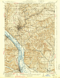
1913 Map of Galena
USGS Topo · Published 1939About this map
The Galena River valley and its surrounding driftless uplands define this early twentieth-century landscape, dominated by a dense concentration of mining operations and river commerce. This survey reveals the intense industrial activity of the era, with the Tenstrike Mine, Blackjack Mine, and Furnace Lead Mill illustrating the region's mineral wealth. The Mississippi River frontage is a complex network of side channels and islands, including Hale Island and Scott Island, with the Bellevue Ferry providing a vital cross-river connection near the town of Bellevue.
Find a feature on this map
101 named features on this map. Tap any name to fly to it.
Don’t see what you’re looking for? This feature index may not catch every label — zoom into the map to look around manually.
Map Details
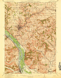
Editions of this 1913 Galena Map
3 editions found
Other maps of this area

1891 · Maquoketa
USGS Topo · 1:62,500

1892 · Savanna
USGS Topo · 1:62,500

1900 · Lancaster
USGS Topo · 1:125,000

1901 · Peosta
USGS Topo · 1:125,000

1902 · Mineral Point
USGS Topo · 1:125,000

1904 · Lancaster
USGS Topo · 1:125,000

1908 · Lancaster
USGS Topo · 1:125,000

1911 · Elizabeth
USGS Topo · 1:62,500

1911 · Galena
USGS Topo · 1:62,500

1913 · Galena
USGS Topo · 1:62,500