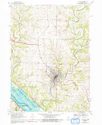
1968 Map of Galena
USGS Topo · Published 1992About this map
Galena serves as the focal point of this late-1960s survey, situated where the Galena River cuts through the high bluffs of northwestern Illinois. The landscape reveals a legacy of extraction, with numerous workings like the Appleton Mine and Flower Mine dotting the terrain near Council Hill and Vinegar Hill. The Fourth Principal Meridian runs through the center of the sheet, providing a primary surveying baseline for the region's agricultural and mining tracts.
Find a feature on this map
49 named features on this map. Tap any name to fly to it.
Don’t see what you’re looking for? This feature index may not catch every label — zoom into the map to look around manually.
Map Details
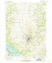
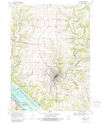
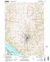
Editions of this 1968 Galena Map
4 editions found
Other maps of this area

1900 · Lancaster
USGS Topo · 1:125,000

1901 · Peosta
USGS Topo · 1:125,000

1902 · Mineral Point
USGS Topo · 1:125,000

1904 · Lancaster
USGS Topo · 1:125,000

1908 · Lancaster
USGS Topo · 1:125,000

1911 · Galena
USGS Topo · 1:62,500

1913 · Galena
USGS Topo · 1:62,500

1935 · East Dubuque
USGS Topo · 1:62,500

1940 · East Dubuque
USGS Topo · 1:62,500

1952 · Cuba City
USGS Topo · 1:24,000