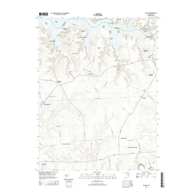
2014 Map of Galena
USGS Topo · Published 2014About this map
The Sassafras River and Chester River define the northern and southern reaches of this landscape in eastern Maryland. The town of Galena stands as a central crossroads, surrounded by a network of smaller established communities such as Locust Grove, Kennedyville, and Fredericktown. The peninsula between the rivers is characterized by intricate necks and points, including Shrewsbury Neck and Shellcross Neck, which reach into the tidal waters.
Find a feature on this map
92 named features on this map. Tap any name to fly to it.
Don’t see what you’re looking for? This feature index may not catch every label — zoom into the map to look around manually.
Map Details
Editions of this 2014 Galena Map
This is the sole edition of this map. No revisions or reprints were ever made.
Other maps of this area

1898 · Tolchester
USGS Topo · 1:125,000

1899 · Dover
USGS Topo · 1:125,000

1900 · Cecilton
USGS Topo · 1:62,500

1900 · Betterton
USGS Topo · 1:62,500

1901 · Chestertown
USGS Topo · 1:62,500

1903 · Tolchester
USGS Topo · 1:125,000

1905 · Barclay
USGS Topo · 1:62,500

1906 · Dover
USGS Topo · 1:125,000

1908 · Tolchester
USGS Topo · 1:125,000

1920 · Dover
USGS Topo · 1:125,000