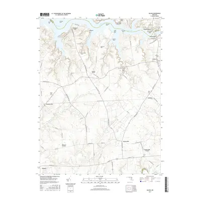
2017 Map of Galena
USGS Topo · Published 2017About this map
The Sassafras River forms the northern boundary of this landscape, separating the Kent and Cecil county lines where Fredericktown and Georgetown face one another across the water. This 2017 survey details the crossroads communities and agricultural heritage of northern Kent County, tracing a network of local roads such as Locust Grove Rd and Kennedyville Rd that connect rural hubs like Locust Grove and Kennedyville.
Find a feature on this map
86 named features on this map. Tap any name to fly to it.
Don’t see what you’re looking for? This feature index may not catch every label — zoom into the map to look around manually.
Map Details
Editions of this 2017 Galena Map
This is the sole edition of this map. No revisions or reprints were ever made.
Other maps of this area

1898 · Tolchester
USGS Topo · 1:125,000

1899 · Dover
USGS Topo · 1:125,000

1900 · Cecilton
USGS Topo · 1:62,500

1900 · Betterton
USGS Topo · 1:62,500

1901 · Chestertown
USGS Topo · 1:62,500

1903 · Tolchester
USGS Topo · 1:125,000

1905 · Barclay
USGS Topo · 1:62,500

1906 · Dover
USGS Topo · 1:125,000

1908 · Tolchester
USGS Topo · 1:125,000

1920 · Dover
USGS Topo · 1:125,000