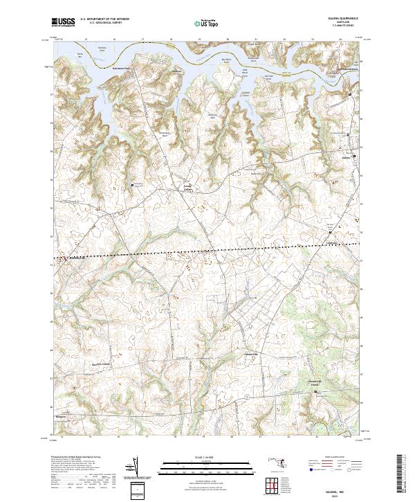
2023 Map of Galena
USGS Topo · Published 2023About this map
The Sassafras River forms a jagged northern boundary for Kent County, defining a landscape of deep tidal inlets and prominent points like Ordinary Point and Shellcross Neck. Inland, the terrain is shaped by numerous creek systems including Morgan Creek and Woodland Creek, which weave between agricultural lands and historic crossroads. This region is characterized by a high density of ancestral sites, with several consecrated grounds such as Shrewsbury Parish Cem and Saint Dennis Catholic Cem serving as landmarks for local genealogy.
Find a feature on this map
83 named features on this map. Tap any name to fly to it.
Don’t see what you’re looking for? This feature index may not catch every label — zoom into the map to look around manually.
Map Details
Editions of this 2023 Galena Map
This is the sole edition of this map. No revisions or reprints were ever made.
Other maps of this area

1898 · Tolchester
USGS Topo · 1:125,000

1899 · Dover
USGS Topo · 1:125,000

1900 · Cecilton
USGS Topo · 1:62,500

1900 · Betterton
USGS Topo · 1:62,500

1901 · Chestertown
USGS Topo · 1:62,500

1903 · Tolchester
USGS Topo · 1:125,000

1905 · Barclay
USGS Topo · 1:62,500

1906 · Dover
USGS Topo · 1:125,000

1908 · Tolchester
USGS Topo · 1:125,000

1920 · Dover
USGS Topo · 1:125,000