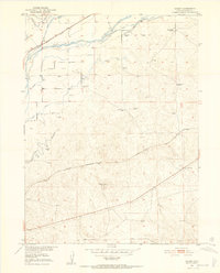
1951 Map of Galien
USGS Topo · Published 1952About this map
The South Platte River and its intricate network of irrigation channels, including the Farmers Ditch, Bravo Ditch, and Lone Tree Ditch, define the agricultural landscape of Logan County. This 1951 study illustrates a high-plains economy deeply tied to water management and rail transport. Two major lines bisect the territory: the Union Pacific follows the river valley in the north, while the Chicago Burlington and Quincy runs through the central region. Local ranching operations are anchored by family-named landmarks such as the Frank Blair Ranch and the Harris Ranch Gate. The settlement of Galien appears as a small node along the eastern rail line, supported by numerous Windmills scattered across the surrounding terrain, which remain essential for livestock and homesteads in this arid environment.
Find a feature on this map
17 named features on this map. Tap any name to fly to it.
Don’t see what you’re looking for? This feature index may not catch every label — zoom into the map to look around manually.
Map Details
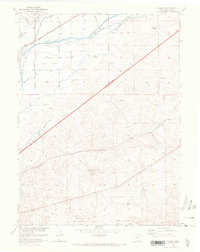
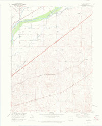
Editions of this 1951 Galien Map
4 editions found
Other maps of this area

1951 · Reiradon Hill
USGS Topo · 1:24,000

1951 · Sterling South
USGS Topo · 1:24,000

1951 · Sterling North
USGS Topo · 1:24,000

1951 · Galien
USGS Topo · 1:24,000

1951 · Iliff
USGS Topo · 1:24,000

1952 · Padroni
USGS Topo · 1:24,000

1953 · Proctor
USGS Topo · 1:24,000

1954 · Sterling
USGS Topo · 1:250,000

1958 · Sterling
USGS Topo · 1:250,000

1962 · Uhler Ranch
USGS Topo · 1:24,000