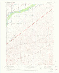
1951 Map of Galien
USGS Topo · Published 1972About this map
The South Platte River corridor dominates this Logan County landscape, where an intricate network of irrigation channels supported high-plains agriculture in the mid-20th century. The complex water system, including the Sterling No 1 Ditch, Valley Ditch, and Bravo Ditch, reveals the intensive engineering required to sustain ranching and farming in this arid Colorado region. Two major transit corridors define the topography: the Union Pacific railroad following the river valley to the north, and the Burlington Northern line cutting diagonally across the southern plains.
Find a feature on this map
16 named features on this map. Tap any name to fly to it.
Don’t see what you’re looking for? This feature index may not catch every label — zoom into the map to look around manually.
Map Details
Editions of this 1951 Galien Map
4 editions found
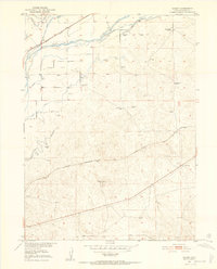
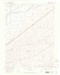
Other maps of this area

1951 · Reiradon Hill
USGS Topo · 1:24,000

1951 · Sterling South
USGS Topo · 1:24,000

1951 · Sterling North
USGS Topo · 1:24,000

1951 · Galien
USGS Topo · 1:24,000

1951 · Iliff
USGS Topo · 1:24,000

1952 · Padroni
USGS Topo · 1:24,000

1953 · Proctor
USGS Topo · 1:24,000

1954 · Sterling
USGS Topo · 1:250,000

1958 · Sterling
USGS Topo · 1:250,000

1962 · Uhler Ranch
USGS Topo · 1:24,000