2023 Map of Gallia
USGS Topo · Published 2023About this map
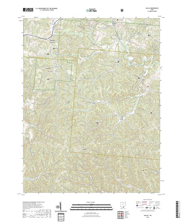
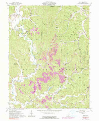
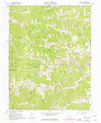
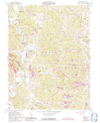
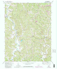
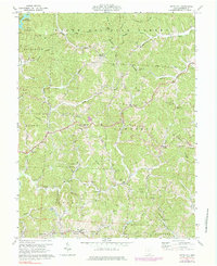
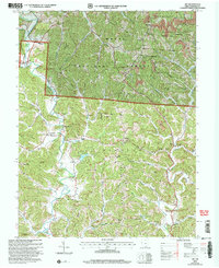
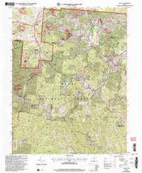
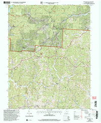
Blackfork Junction and Blackfork serve as primary landmarks in this wooded landscape where Jackson, Lawrence, and Gallia counties converge. The terrain is defined by a series of narrow valleys and hollows, including Irish Hollow, Kokeene Hollow, and Pokepatch Hollow, which drain into the winding Black Fork and its tributaries. Large portions of the territory are preserved within the Wayne-National Forest, illustrating the region's character as a reclaimed natural landscape. Scattered throughout these hills are numerous family and community burial grounds, such as Bethel Cem, Poetker Cem, and Washington Cem, which offer significant value for genealogical research. Smaller settlements like Peniel, Hoadley, and Gallia are connected by a network of rural routes, including Old State Rte 75, reflecting the enduring settlement patterns of this corner of southern Ohio.
Find a feature on this map
77 named features on this map. Tap any name to fly to it.
Don’t see what you’re looking for? This feature index may not catch every label — zoom into the map to look around manually.
Map Details
Editions of this 2023 Gallia Map
This is the sole edition of this map. No revisions or reprints were ever made.
Historical Maps of Kitchen Through Time
20 maps found
1961 Aid
Lawrence County, OH
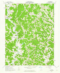
1961 Gallia
Lawrence County, OH
1961 Kitts Hill
Lawrence County, OH
1961 Pedro
Lawrence County, OH
1961 Sherritts
Lawrence County, OH
1961 Waterloo
Lawrence County, OH
1972 Aid
Lawrence County, OH
1972 Kitts Hill
Lawrence County, OH
2002 Aid
Lawrence County, OH
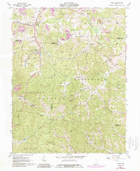
2002 Gallia
Lawrence County, OH
2002 Kitts Hill
Lawrence County, OH
2002 Pedro
Lawrence County, OH
2002 Sherritts
Lawrence County, OH
2002 Waterloo
Lawrence County, OH
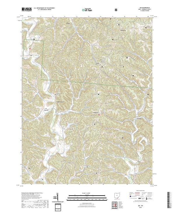
2023 Aid
Lawrence County, OH
2023 Gallia
Lawrence County, OH
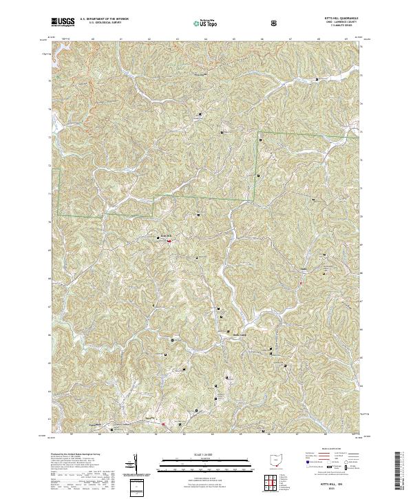
2023 Kitts Hill
Lawrence County, OH
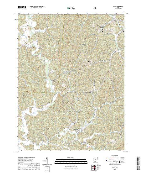
2023 Pedro
Lawrence County, OH
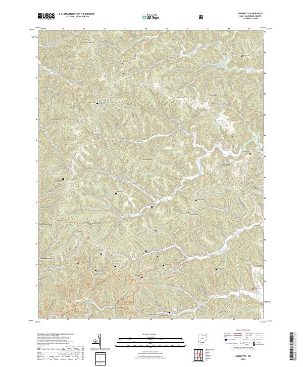
2023 Sherritts
Lawrence County, OH
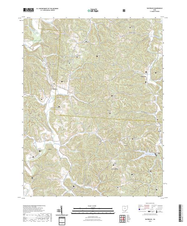
2023 Waterloo
Lawrence County, OH
Featured Locations
- Greenfield Township, OH
- Washington Township, OH
- Decatur Township, OH
- Symmes Township, OH
- Gallia, Greenfield Township