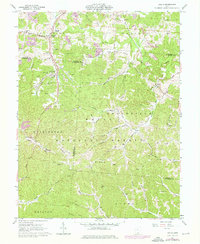
1961 Map of Gallia
USGS Topo · Published 1976About this map
Industrial and rural landscapes intersect along the Baltimore and Ohio railroad corridor in this mid-century survey of the Ohio hill country. The map documents an economy driven by resource extraction, evidenced by numerous claypits and gas wells scattered across the ridges and hollows near Blackfork Junction. Small settlements like Cambria, Gallia, and Pokepatch are anchored by social foundations such as the Bethel Ch, Mt Herman Ch, and Jefferson Sch.
Find a feature on this map
71 named features on this map. Tap any name to fly to it.
Don’t see what you’re looking for? This feature index may not catch every label — zoom into the map to look around manually.
Map Details
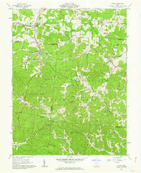
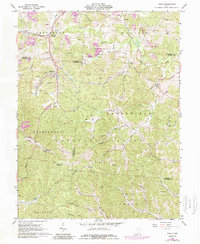
Editions of this 1961 Gallia Map
Other maps of this area

1898 · Ironton
USGS Topo · 1:62,500

1900 · Ironton
USGS Topo · 1:62,500

1906 · Bidwell
USGS Topo · 1:62,500

1906 · Athalia
USGS Topo · 1:62,500

1908 · Bidwell
USGS Topo · 1:62,500

1908 · Athalia
USGS Topo · 1:62,500

1912 · Oak Hill
USGS Topo · 1:62,500

1957 · Huntington
USGS Topo · 1:250,000

1960 · Huntington
USGS Topo · 1:250,000
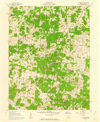
1961 · Petersburg
USGS Topo · 1:24,000