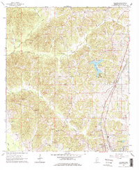
1963 Map of Gallman
USGS Topo · Published 1978About this map
Gallman serves as the central hub of this Copiah County landscape, situated along the Illinois Central railroad corridor. The terrain is defined by a dense network of tributaries including Turkey Creek, Long Creek, and Copiah Creek, which feed into the larger Bayou Pierre drainage. A significant local landmark, Lake Copiah, features a recorded spillway elevation of 352 feet and is flanked by Camp Wesley Pines.
Find a feature on this map
40 named features on this map. Tap any name to fly to it.
Don’t see what you’re looking for? This feature index may not catch every label — zoom into the map to look around manually.
Map Details
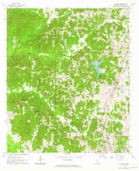
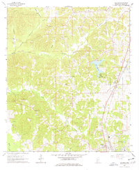
Editions of this 1963 Gallman Map
3 editions found
Other maps of this area

1903 · Jackson
USGS Topo · 1:125,000

1937 · Terry
USGS Topo · 1:48,000

1943 · Terry
USGS Topo · 1:62,500

1953 · Natchez
USGS Topo · 1:250,000

1955 · Jackson
USGS Topo · 1:250,000

1956 · Natchez
USGS Topo · 1:250,000

1959 · Natchez
USGS Topo · 1:250,000

1961 · Jackson
USGS Topo · 1:250,000

1962 · Jackson
USGS Topo · 1:250,000

1963 · Dentville
USGS Topo · 1:24,000