
1973 Map of Gammil Well SE
USGS Topo · Published 1975About this map
Ingram Cem and the Foust-Hilburn Ranch sit on a landscape defined by the search for water and energy along the border of Roosevelt and Chaves counties. This high plains region in the early 1970s shows a infrastructure of ranching and early petroleum extraction, evidenced by the Walking Beam Wells and a network of named water sources like Lake Well and Tolar Well. The topography is subtly marked by the South Fork White Draw, which provides a rare drainage feature in an area otherwise dependent on artificial catchments like Elkins Tank. Transportation is limited to a primitive Jeep Trail and unnamed service roads, while a subterranean Pipeline cuts across the southern sections of the quadrangle. Windmills, such as the South Jett Windmill and Johnson Windmill, appear as isolated but critical landmarks for navigation and local ranching operations in this arid expanse.
Find a feature on this map
16 named features on this map. Tap any name to fly to it.
Don’t see what you’re looking for? This feature index may not catch every label — zoom into the map to look around manually.
Map Details
Editions of this 1973 Gammil Well SE Map
This is the sole edition of this map. No revisions or reprints were ever made.
Other maps of this area

1954 · Clovis
USGS Topo · 1:250,000

1954 · Brownfield
USGS Topo · 1:250,000

1958 · Brownfield
USGS Topo · 1:250,000

1958 · Clovis
USGS Topo · 1:250,000

1962 · Brownfield
USGS Topo · 1:250,000

1973 · Lewiston Lake
USGS Topo · 1:24,000
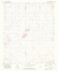
1973 · Gammil Well
USGS Topo · 1:24,000

1973 · Gammil Well NE
USGS Topo · 1:24,000

1973 · Upton
USGS Topo · 1:24,000
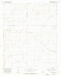
1973 · Rippee Ranch
USGS Topo · 1:24,000