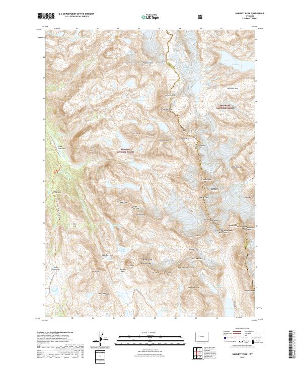
2021 Map of Gannett Peak
USGS Topo · Published 2021About this map
Gannett Peak towers at the center of this high-alpine landscape, marking a formidable point on the Continental Divide where the borders of Sublette and Fremont counties meet. The survey illustrates the complex glacial and hydrologic systems of the Wind River Range, where the Green River begins its long journey south through Three Forks Park and Trail Creek Park. This wilderness is split between the Bridger National Forest and Shoshone National Forest, with the Continental Divide National Scenic Trl winding through the western slopes. The map details an environment of permanent ice and rock, including the Grasshopper Glacier and significant summits like Mt Woodrow Wilson and Mt Warren. Isolated water bodies such as Stonehammer Lake and Peak Lake sit in high cirques, while names like Gooseneck Pinnacle and The Sphinx indicate the sharp, descriptive nomenclature used by mountaineers and surveyors in this region.
Find a feature on this map
76 named features on this map. Tap any name to fly to it.
Don’t see what you’re looking for? This feature index may not catch every label — zoom into the map to look around manually.
Map Details
Editions of this 2021 Gannett Peak Map
This is the sole edition of this map. No revisions or reprints were ever made.
Other maps of this area

1909 · Fremont Peak
USGS Topo · 1:125,000

1955 · Thermopolis
USGS Topo · 1:250,000

1958 · Thermopolis
USGS Topo · 1:250,000

1962 · Thermopolis
USGS Topo · 1:250,000
1968 · Ink Wells
USGS Topo · 1:24,000

1968 · Fremont Peak North
USGS Topo · 1:24,000
1968 · Gannett Peak
USGS Topo · 1:24,000
1968 · Fremont Lake North
USGS Topo · 1:24,000
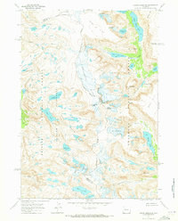
1968 · Downs Mountain
USGS Topo · 1:24,000
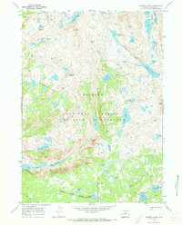
1968 · Bridger Lakes
USGS Topo · 1:24,000