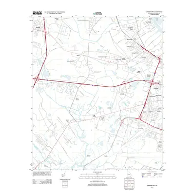
2012 Map of Garden City
USGS Topo · Published 2012About this map
Industrial transit corridors and sprawling logistics hubs define this 2012 survey of the Savannah hinterland. The Garden City Terminal Georgia Ports Authority on the Savannah River anchors the region’s economy, supported by a dense network of rail junctions including Central Junction, Telfair Junction, and Alabama Junction. These commercial arteries weave through established residential enclaves like Wheat Hill, Chatham City, and Rossignol Hill.
Find a feature on this map
90 named features on this map. Tap any name to fly to it.
Don’t see what you’re looking for? This feature index may not catch every label — zoom into the map to look around manually.
Map Details
Editions of this 2012 Garden City Map
This is the sole edition of this map. No revisions or reprints were ever made.
Other maps of this area
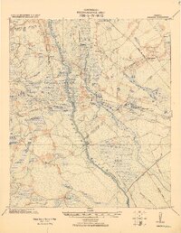
1920 · Meldrim
USGS Topo · 1:62,500
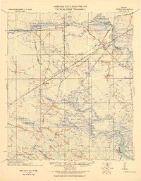
1920 · Limerick
USGS Topo · 1:62,500
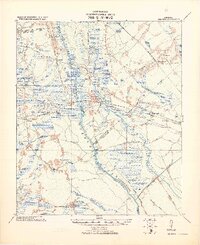
1942 · Meldrim
USGS Topo · 1:62,500
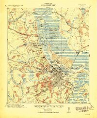
1942 · Savannah
USGS Topo · 1:62,500
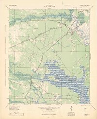
1944 · Limerick
USGS Topo · 1:62,500
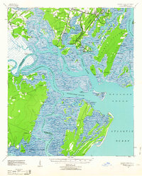
1944 · Ossabaw Island
USGS Topo · 1:62,500
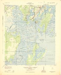
1945 · Ossabaw Island
USGS Topo · 1:62,500
1946 · Brunswick
USGS Topo · 1:250,000

1947 · Savannah
USGS Topo · 1:250,000
1948 · Brunswick
USGS Topo · 1:250,000