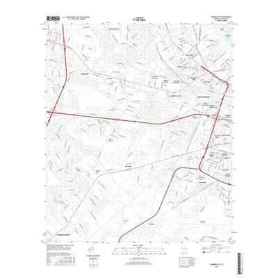
2017 Map of Garden City
USGS Topo · Published 2017About this map
The Savannah River corridor and its surrounding coastal plains are defined by a complex network of industrial waterways and historic neighborhoods just west of the city center. Engineered features like the Pipe Makers Canal and Hardin Canal weave through the lowlands, supporting the development of communities such as Silk Hope and Liberty City. This area is a critical transportation and military hub, anchored by the Savannah Hilton Head International Airport to the north and Hunter Army Air Field to the south.
Find a feature on this map
231 named features on this map. Tap any name to fly to it.
Don’t see what you’re looking for? This feature index may not catch every label — zoom into the map to look around manually.
Map Details
Editions of this 2017 Garden City Map
This is the sole edition of this map. No revisions or reprints were ever made.
Other maps of this area

1920 · Meldrim
USGS Topo · 1:62,500

1920 · Limerick
USGS Topo · 1:62,500

1942 · Meldrim
USGS Topo · 1:62,500

1942 · Savannah
USGS Topo · 1:62,500

1944 · Limerick
USGS Topo · 1:62,500

1944 · Ossabaw Island
USGS Topo · 1:62,500

1945 · Ossabaw Island
USGS Topo · 1:62,500

1946 · Brunswick
USGS Topo · 1:250,000

1947 · Savannah
USGS Topo · 1:250,000

1948 · Brunswick
USGS Topo · 1:250,000