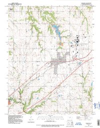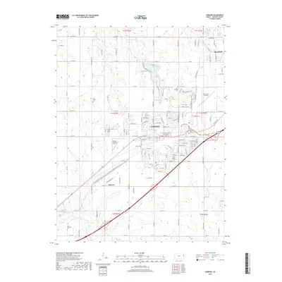
1957 Map of Gardner
USGS Topo · Published 1971About this map
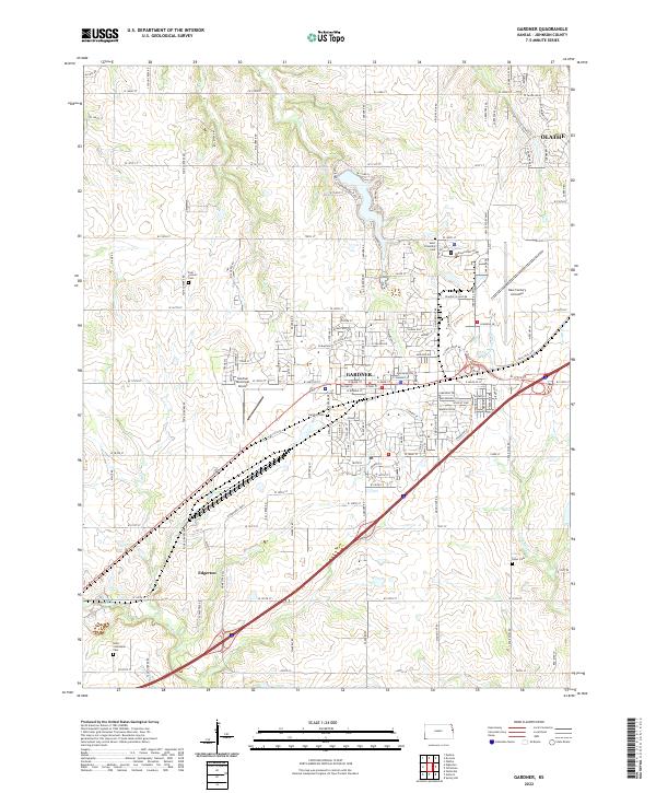
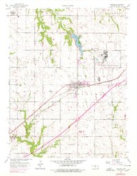
Gardner serves as the focal point of this mid-century survey, situated at the crossroads of the Atchison Topeka and Santa Fe railroad and expanding regional infrastructure. The landscape reveals a transition between rural agricultural land and significant military-industrial footprints, notably the US Naval Air Station (Inactive) and the Sunflower Ordnance Works reservation in the northwest. These sites, coupled with the Gardner Landing Field and a Radio Range Station, highlight the area's strategic importance during and after the war years.
Find a feature on this map
27 named features on this map. Tap any name to fly to it.
Don’t see what you’re looking for? This feature index may not catch every label — zoom into the map to look around manually.
Map Details
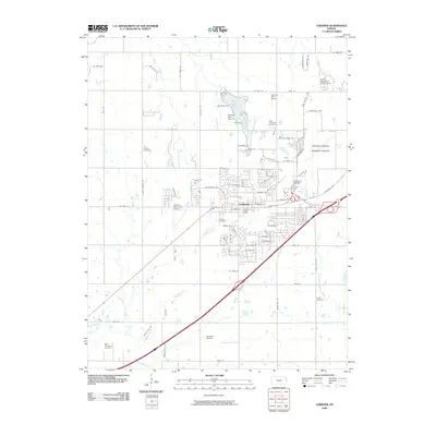
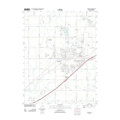
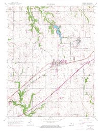
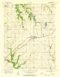
Editions of this 1957 Gardner Map
3 editions found
Historical Maps of Olathe Through Time
7 maps found