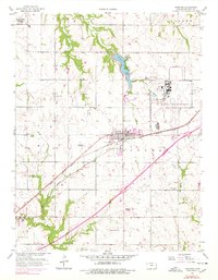
1957 Map of Gardner
USGS Topo · Published 1978About this map
Gardner serves as the central hub of this Kansas landscape, situated at a major railroad junction during a period of mid-century military and industrial transition. To the northeast, the US Naval Air Station (Inactive) and the Sunflower Ordnance Works boundary indicate the area's strategic importance during the war years, while the Gardner Landing Field reflects the early aviation history of Johnson County. The geography is defined by the Atchison Topeka and Santa Fe railroad tracks, which parallel the old Santa Fe roadbed as they cut diagonally across the terrain.
Find a feature on this map
31 named features on this map. Tap any name to fly to it.
Don’t see what you’re looking for? This feature index may not catch every label — zoom into the map to look around manually.
Map Details
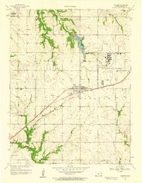
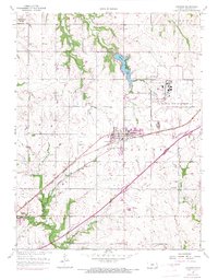
Editions of this 1957 Gardner Map
3 editions found
Other maps of this area

1885 · Lawrence
USGS Topo · 1:125,000

1887 · Olathe
USGS Topo · 1:125,000

1889 · Lawrence
USGS Topo · 1:125,000

1893 · Olathe
USGS Topo · 1:125,000

1935 · Olathe
USGS Topo · 1:24,000

1943 · Olathe
USGS Topo · 1:31,680

1947 · Lawrence
USGS Topo · 1:250,000

1950 · Lawrence
USGS Topo · 1:250,000

1951 · De Soto
USGS Topo · 1:24,000
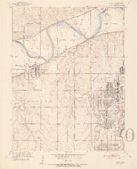
1951 · Eudora
USGS Topo · 1:24,000