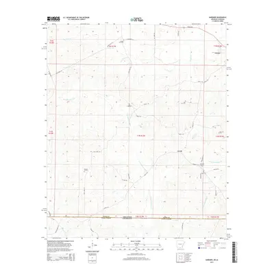
2014 Map of Gardner
USGS Topo · Published 2014About this map
Little Bayou de Loutre and its meandering tributaries dominate this borderland landscape between Union County, Arkansas, and Union Parish, Louisiana. The 2014 terrain is characterized by a network of rural roads such as Aurelle Rd and Lovett Rd that connect small settlements and community landmarks. The extractive economy of the region is evidenced by the Aurelle Oil and Gas Field located near the state line, while the historical social fabric of these rural communities is preserved in the numerous cemeteries scattered across the quadrangle. These include Pleasant Grove Cem in the north and Free Hope Cem further south. The settlement of Aurelle sits at a crossroads, serving as a focal point for the surrounding homesteads and small farmsteads that have long occupied these piney woods.
Find a feature on this map
48 named features on this map. Tap any name to fly to it.
Don’t see what you’re looking for? This feature index may not catch every label — zoom into the map to look around manually.
Map Details
Editions of this 2014 Gardner Map
This is the sole edition of this map. No revisions or reprints were ever made.
Other maps of this area
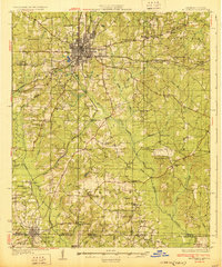
1927 · El Dorado
USGS Topo · 1:62,500
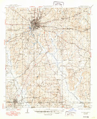
1930 · El Dorado
USGS Topo · 1:62,500
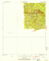
1933 · Strong
USGS Topo · 1:62,500
1937 · Strong
USGS Topo · 1:62,500
1939 · Strong
USGS Topo · 1:62,500
1951 · Bernice
USGS Topo · 1:62,500
1951 · El Dorado
USGS Topo · 1:62,500
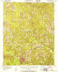
1952 · Farmerville
USGS Topo · 1:62,500

1953 · El Dorado
USGS Topo · 1:250,000
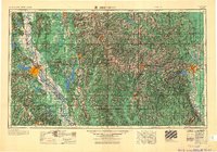
1955 · Shreveport
USGS Topo · 1:250,000