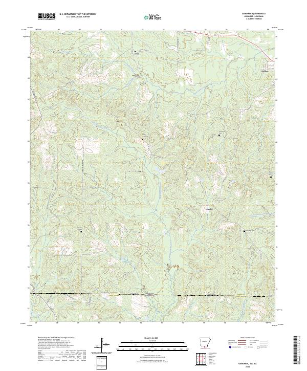
2024 Map of Gardner
USGS Topo · Published 2024About this map
The Arkansas-Louisiana state line divides the landscape south of Gardner, where the terrain of Union County is defined by a dense network of bayous and creeks. The drainage patterns of Little Bayou de Loutre and South Lapile Creek dictate the local geography, winding through a region marked by rural intersections and family burial grounds. Significant local landmarks include several historic cemeteries such as Pleasant Grove Cem and Cane Creek Cem, which serve as primary anchors for genealogical research in this borderland area.
Find a feature on this map
47 named features on this map. Tap any name to fly to it.
Don’t see what you’re looking for? This feature index may not catch every label — zoom into the map to look around manually.
Map Details
Editions of this 2024 Gardner Map
This is the sole edition of this map. No revisions or reprints were ever made.
Other maps of this area

1927 · El Dorado
USGS Topo · 1:62,500

1930 · El Dorado
USGS Topo · 1:62,500

1933 · Strong
USGS Topo · 1:62,500

1937 · Strong
USGS Topo · 1:62,500

1939 · Strong
USGS Topo · 1:62,500

1951 · Bernice
USGS Topo · 1:62,500

1951 · El Dorado
USGS Topo · 1:62,500

1952 · Farmerville
USGS Topo · 1:62,500

1953 · El Dorado
USGS Topo · 1:250,000

1955 · Shreveport
USGS Topo · 1:250,000