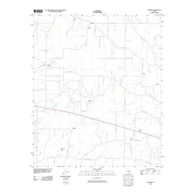
2010 Map of Garner
USGS Topo · Published 2010About this map
Authon and Garner anchor a landscape defined by small cattle-country settlements and a complex web of seasonal watercourses. The area is characterized by family-named cemeteries such as Fondren Cemetery and Authon Cemetery, indicating deep ancestral roots in this corner of North Texas. The terrain rises slightly at Buzzard Hill, while numerous branches like Patterson Branch and Clark Branch feed into the central drainage of Grindstone Creek.
Find a feature on this map
63 named features on this map. Tap any name to fly to it.
Don’t see what you’re looking for? This feature index may not catch every label — zoom into the map to look around manually.
Map Details
Editions of this 2010 Garner Map
This is the sole edition of this map. No revisions or reprints were ever made.
Other maps of this area

1891 · Weatherford
USGS Topo · 1:125,000

1891 · Palo Pinto
USGS Topo · 1:125,000

1893 · Weatherford
USGS Topo · 1:125,000

1918 · Palo Pinto
USGS Topo · 1:125,000

1927 · Mineral Wells
USGS Topo · 1:62,500

1931 · Dennis
USGS Topo · 1:62,500

1931 · Santo
USGS Topo · 1:62,500

1954 · Dallas
USGS Topo · 1:250,000

1954 · Abilene
USGS Topo · 1:250,000

1958 · Dallas
USGS Topo · 1:250,000