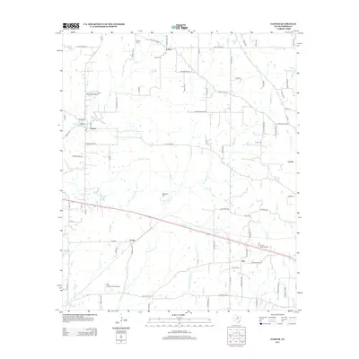
2012 Map of Garner
USGS Topo · Published 2012About this map
Authon and Garner anchor this portion of north-central Parker County, where the landscape is defined by a dendritic network of seasonal streams and localized settlement hubs. The terrain, punctuated by Buzzard Hill, is drained by numerous branches such as Grindstone Cr, Patterson Br, and Grassy Br. This era of the landscape shows a transition toward low-density rural aviation and established family ties, evidenced by small facilities like Windy Tales Airport and Folbre's Place Airport. Genealogists will find significant value in the distribution of local burial grounds, including the Authon Cem, Lemley Cem, and Fondren Cem, which mark the historical footprint of the area's earliest residents. The road network, including Franko Switch Rd and Old Authon Rd, traces the movement between these small communities like Lemley and Preble as they evolved into the early 21st century.
Find a feature on this map
85 named features on this map. Tap any name to fly to it.
Don’t see what you’re looking for? This feature index may not catch every label — zoom into the map to look around manually.
Map Details
Editions of this 2012 Garner Map
This is the sole edition of this map. No revisions or reprints were ever made.
Other maps of this area
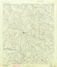
1891 · Weatherford
USGS Topo · 1:125,000
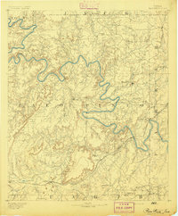
1891 · Palo Pinto
USGS Topo · 1:125,000
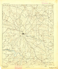
1893 · Weatherford
USGS Topo · 1:125,000
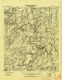
1918 · Palo Pinto
USGS Topo · 1:125,000
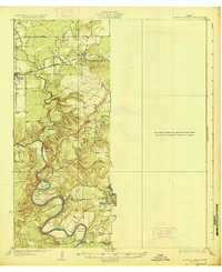
1927 · Mineral Wells
USGS Topo · 1:62,500
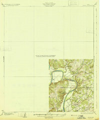
1931 · Dennis
USGS Topo · 1:62,500
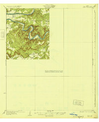
1931 · Santo
USGS Topo · 1:62,500

1954 · Dallas
USGS Topo · 1:250,000

1954 · Abilene
USGS Topo · 1:250,000

1958 · Dallas
USGS Topo · 1:250,000