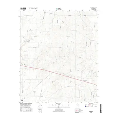
2016 Map of Garner
USGS Topo · Published 2016About this map
Authon and the surrounding Parker County countryside are defined by a network of creeks and small aviation strips in this mid-2010s survey. The landscape is heavily dissected by waterways like Grindstone Cr, Little Grindstone Cr, and Coffee Cr, which wind through the terrain near Buzzard Hill. Local history and genealogy are anchored by several burial grounds, including Authon Cem, Fondren Cem, and the County Memorial Cem located along the southern thoroughfares. Private aviation is a distinct local characteristic, represented by Windy Tales Airport and Reb Folbre's Place Airport. The map shows a transition from the rural northern settlements like Garner down toward the corridor including Cool and Millsap, where modern road names like Marys Shady Ln and Holders Chapel Rd connect established family lands and agricultural tracts.
Find a feature on this map
79 named features on this map. Tap any name to fly to it.
Don’t see what you’re looking for? This feature index may not catch every label — zoom into the map to look around manually.
Map Details
Editions of this 2016 Garner Map
This is the sole edition of this map. No revisions or reprints were ever made.
Other maps of this area
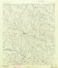
1891 · Weatherford
USGS Topo · 1:125,000
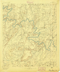
1891 · Palo Pinto
USGS Topo · 1:125,000
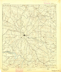
1893 · Weatherford
USGS Topo · 1:125,000
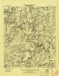
1918 · Palo Pinto
USGS Topo · 1:125,000
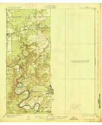
1927 · Mineral Wells
USGS Topo · 1:62,500
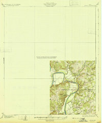
1931 · Dennis
USGS Topo · 1:62,500
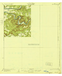
1931 · Santo
USGS Topo · 1:62,500

1954 · Dallas
USGS Topo · 1:250,000

1954 · Abilene
USGS Topo · 1:250,000

1958 · Dallas
USGS Topo · 1:250,000