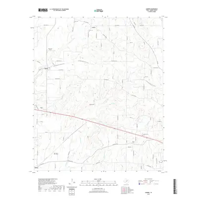
2019 Map of Garner
USGS Topo · Published 2019About this map
Authon and Garner anchor this Parker County landscape, where the rolling prairies meet a complex network of seasonal drainages and local landmarks. The map documents a rural transition area characterized by family-named cemeteries and small private airstrips like Windy Tales Airport and Reb Folbre's Place Airport. A high density of creek branches, including Grindstone Cr, Lick Br, and Coffee Cr, carve through the terrain, dictating the placement of historic farm-to-market roads and early settlements like Cool and Fox.
Find a feature on this map
80 named features on this map. Tap any name to fly to it.
Don’t see what you’re looking for? This feature index may not catch every label — zoom into the map to look around manually.
Map Details
Editions of this 2019 Garner Map
This is the sole edition of this map. No revisions or reprints were ever made.
Other maps of this area
1891 · Weatherford
USGS Topo · 1:125,000
1891 · Palo Pinto
USGS Topo · 1:125,000
1893 · Weatherford
USGS Topo · 1:125,000
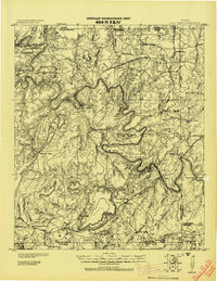
1918 · Palo Pinto
USGS Topo · 1:125,000
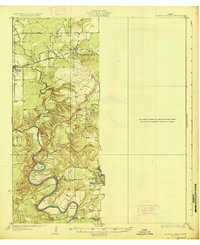
1927 · Mineral Wells
USGS Topo · 1:62,500
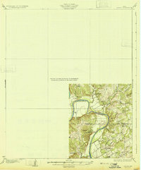
1931 · Dennis
USGS Topo · 1:62,500
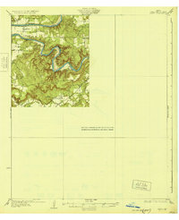
1931 · Santo
USGS Topo · 1:62,500

1954 · Dallas
USGS Topo · 1:250,000

1954 · Abilene
USGS Topo · 1:250,000

1958 · Dallas
USGS Topo · 1:250,000