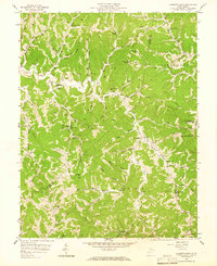
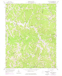
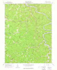
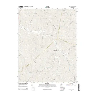
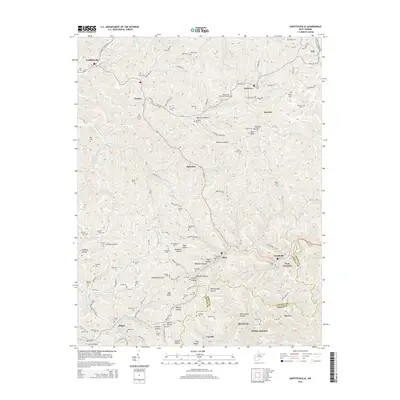
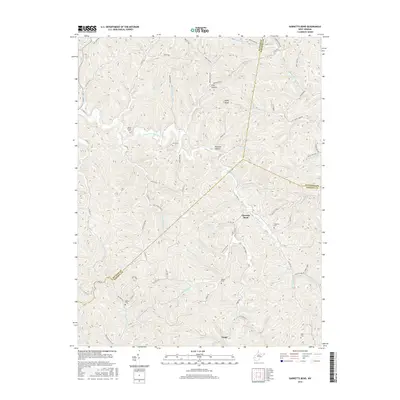
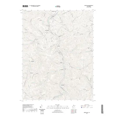
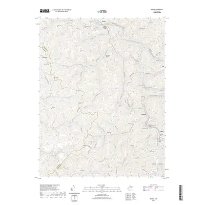
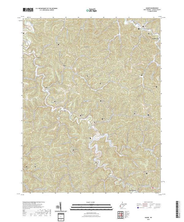
1958 Map of Garretts Bend
USGS Topo · Published 1965About this map
The rugged hill country where Putnam, Kanawha, and Lincoln counties meet is captured here in the late 1950s. This territory, spanning the districts of Curry, Jefferson, Washington, and Duval, is defined by an intricate network of narrow hollows and winding ridges. Small rural communities like Garretts Bend and Tango anchor a landscape heavily shaped by natural gas extraction, indicated by the numerous wells peppering the hillsides near Trace Fork and Turkey Creek.
Find a feature on this map
58 named features on this map. Tap any name to fly to it.
Don’t see what you’re looking for? This feature index may not catch every label — zoom into the map to look around manually.
Map Details
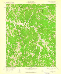
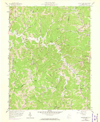
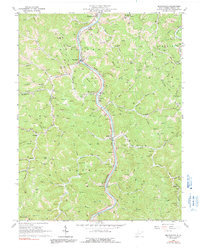
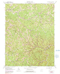
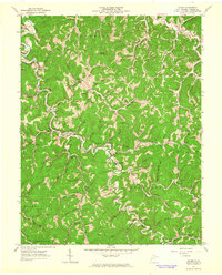
Editions of this 1958 Garretts Bend Map
4 editions found
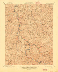
Historical Maps of Alum Creek Through Time
33 maps found

1902 Midkiff
Lincoln County, WV

1907 Midkiff
Lincoln County, WV
1909 Midkiff
Lincoln County, WV
1958 Garretts Bend
Lincoln County, WV
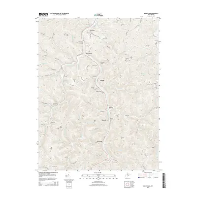
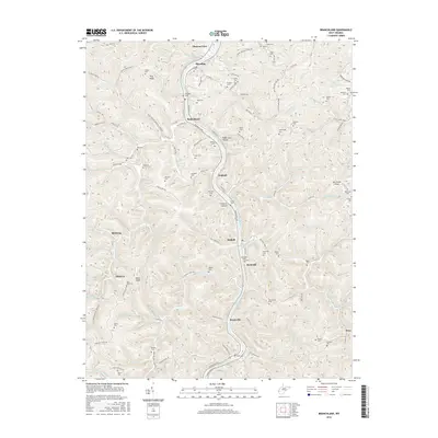
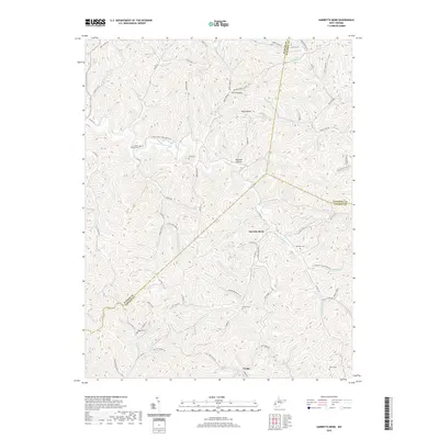
1962 Branchland
Lincoln County, WV
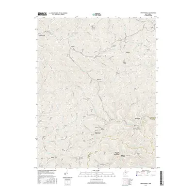
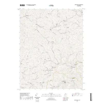
1962 Griffithsville
Lincoln County, WV
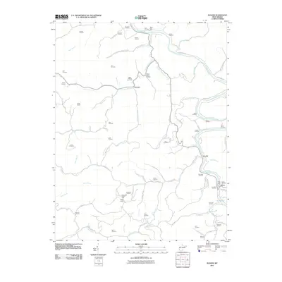
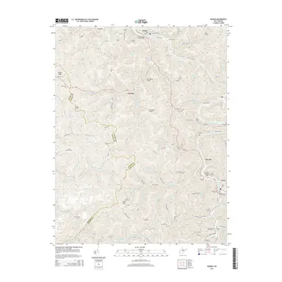
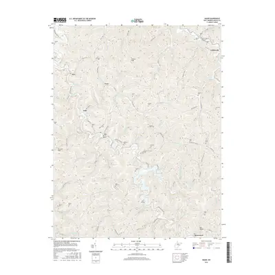
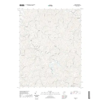
1962 Hager
Lincoln County, WV
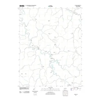
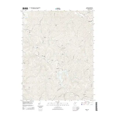
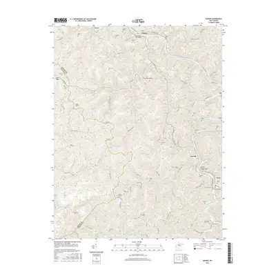
1962 Ranger
Lincoln County, WV
2011 Branchland
Lincoln County, WV
2011 Garretts Bend
Lincoln County, WV
2011 Griffithsville
Lincoln County, WV
2011 Hager
Lincoln County, WV
2011 Ranger
Lincoln County, WV
2014 Branchland
Lincoln County, WV
2014 Garretts Bend
Lincoln County, WV
2014 Griffithsville
Lincoln County, WV
2014 Hager
Lincoln County, WV
2014 Ranger
Lincoln County, WV
2016 Branchland
Lincoln County, WV
2016 Garretts Bend
Lincoln County, WV
2016 Griffithsville
Lincoln County, WV
2016 Hager
Lincoln County, WV
2016 Ranger
Lincoln County, WV
2019 Branchland
Lincoln County, WV
2019 Garretts Bend
Lincoln County, WV
2019 Griffithsville
Lincoln County, WV
2019 Hager
Lincoln County, WV
2019 Ranger
Lincoln County, WV
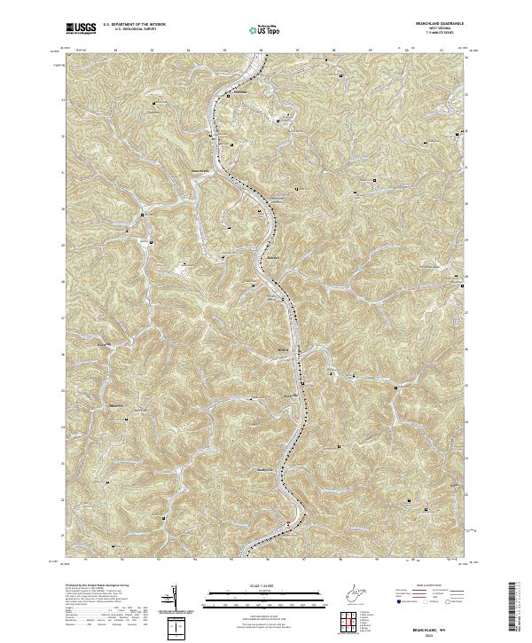
2023 Branchland
Lincoln County, WV
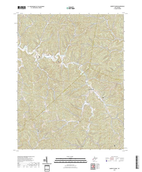
2023 Garretts Bend
Lincoln County, WV
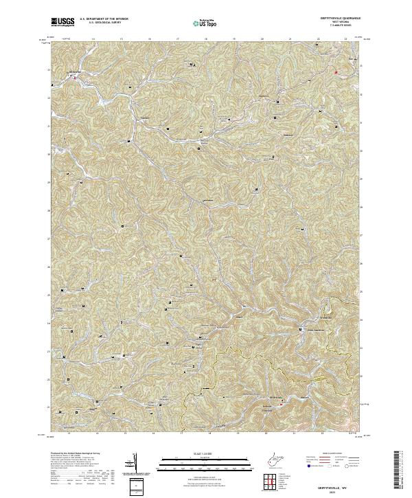
2023 Griffithsville
Lincoln County, WV
2023 Hager
Lincoln County, WV
2023 Ranger
Lincoln County, WV