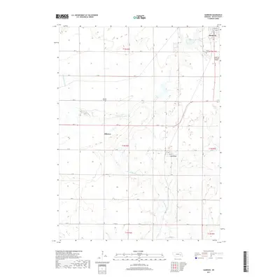
2017 Map of Garrison
USGS Topo · Published 2017About this map
David City serves as the primary urban center at the northeast corner of this Butler County landscape, where residential streets like Nebraska St and Iowa St transition into the municipal outskirts. The area is defined by a rhythmic grid of rural roads, including Rd 34 and Rd 28, which connect smaller settlements and agricultural hubs. Further south, the village of Garrison is situated near the headwaters of Kezun Cr, while Millerton occupies a central position along the westward path of the N Br Big Blue River. This waterway meanders diagonally across the township lines of T14N R2E and T15N R2E, creating a varied topography amidst the sectioned farmland. Local genealogy is anchored by sites such as the David City Cem and the more remote Pleasant Hill Cem, reflecting the early 20th-century burial patterns of the region.
Find a feature on this map
31 named features on this map. Tap any name to fly to it.
Don’t see what you’re looking for? This feature index may not catch every label — zoom into the map to look around manually.
Map Details
Editions of this 2017 Garrison Map
This is the sole edition of this map. No revisions or reprints were ever made.
Other maps of this area
1899 · David City
USGS Topo · 1:125,000
1955 · Fremont
USGS Topo · 1:250,000
1957 · Fremont
USGS Topo · 1:250,000
1958 · Fremont
USGS Topo · 1:250,000
1958 · Columbus SE
USGS Topo · 1:24,000
1965 · Brainard
USGS Topo · 1:24,000
1965 · Garrison
USGS Topo · 1:24,000
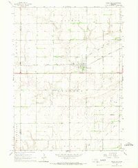
1965 · Rising City
USGS Topo · 1:24,000
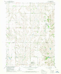
1966 · Dwight
USGS Topo · 1:24,000
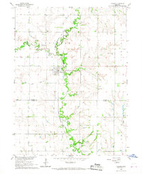
1966 · Ulysses
USGS Topo · 1:24,000