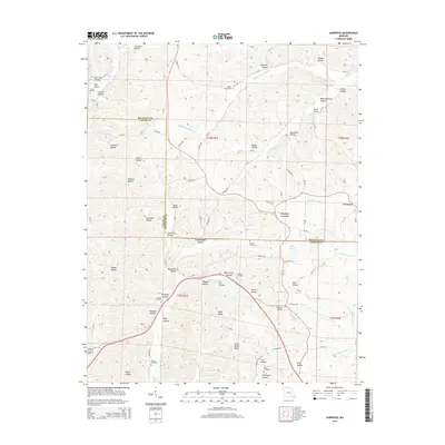
2015 Map of Garwood
USGS Topo · Published 2015About this map
Keeney Corner and Garwood anchor the eastern landscape of this Reynolds and Carter County border region, where the topography is defined by an intricate network of hollows and valleys. The drainage system is particularly dense, with Big Brushy Cr and Middle Fork Webb Cr carving deep paths through the timbered terrain. This 2015 survey reveals a high concentration of family and community burial grounds, including the Brame Cemetery and Tedder Cemetery, which serve as vital landmarks for local genealogical research. The road network follows the natural contours of the land, with routes like CO Road 560 and CO Road 636 connecting isolated settlements. From the heights of Latty Valley Ridge to the lowlands of Miller Lake, the map documents a rural Ozark landscape where historical land divisions and natural watercourses dictate the pattern of human habitation.
Find a feature on this map
100 named features on this map. Tap any name to fly to it.
Don’t see what you’re looking for? This feature index may not catch every label — zoom into the map to look around manually.
Map Details
Editions of this 2015 Garwood Map
This is the sole edition of this map. No revisions or reprints were ever made.
Other maps of this area
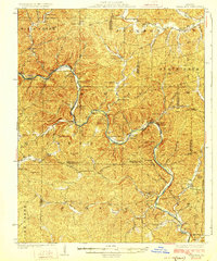
1928 · Cardareva
USGS Topo · 1:62,500
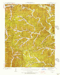
1943 · Ellington
USGS Topo · 1:62,500
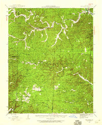
1944 · Van Buren
USGS Topo · 1:62,500
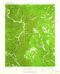
1944 · Grandin
USGS Topo · 1:62,500
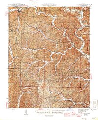
1945 · Ellington
USGS Topo · 1:62,500
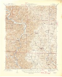
1946 · Grandin
USGS Topo · 1:62,500
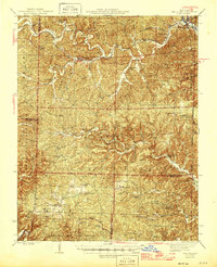
1946 · Van Buren
USGS Topo · 1:62,500

1949 · Rolla
USGS Topo · 1:250,000
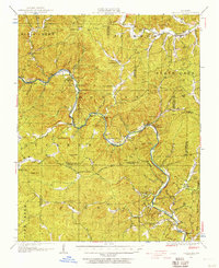
1949 · Cardareva
USGS Topo · 1:62,500
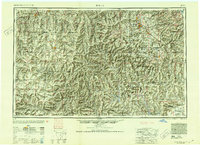
1953 · Rolla
USGS Topo · 1:250,000