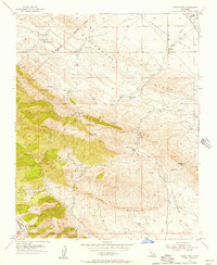
1953 Map of Garza Peak
USGS Topo · Published 1957About this map
Kreyenhagen Hills and the steep slopes of Reef Ridge dominate this mid-century look at the California interior, where resource extraction and ranching defined the local economy. The landscape is dotted with evidence of early energy exploration, including numerous abandoned oil wells, a Tar Seep, and a Pipeline cutting across the Kettleman Plain. These industrial markers sit alongside established family operations like Kreyenhagen Ranch, Clark Ranch, and Sagaser Ranch.
Find a feature on this map
47 named features on this map. Tap any name to fly to it.
Don’t see what you’re looking for? This feature index may not catch every label — zoom into the map to look around manually.
Map Details
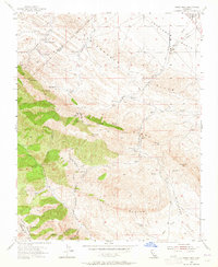
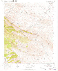
Editions of this 1953 Garza Peak Map
3 editions found
Other maps of this area

1912 · Coalinga
USGS Topo · 1:125,000

1914 · Cholame
USGS Topo · 1:125,000

1915 · Cholame
USGS Topo · 1:125,000

1917 · Cholame
USGS Topo · 1:125,000

1930 · Discovery Well
USGS Topo · 1:31,680

1930 · Canoas Creek
USGS Topo · 1:31,680

1930 · Kettleman Plain
USGS Topo · 1:31,680

1933 · Kettleman Plain
USGS Topo · 1:31,680

1934 · The Dark Hole
USGS Topo · 1:31,680

1934 · Reef Ridge
USGS Topo · 1:31,680