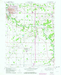
1960 Map of Gas City
USGS Topo · Published 1982About this map
Mississinewa River meanders through the heart of Grant County, anchoring a landscape defined by the growth of industrial hubs like Gas City and Jonesboro. This map captures a transition period in Indiana's development, documenting the updated Conrail rail lines that served the region's manufacturing and agricultural base. The grid layouts of Fowlerton, Matthews, and Upland are shown in detail, reflecting their origins as small rail towns.
Find a feature on this map
50 named features on this map. Tap any name to fly to it.
Don’t see what you’re looking for? This feature index may not catch every label — zoom into the map to look around manually.
Map Details
Editions of this 1960 Gas City Map
4 editions found
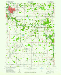
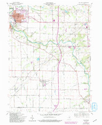
Other maps of this area

1953 · Muncie
USGS Topo · 1:250,000

1956 · Muncie
USGS Topo · 1:250,000

1960 · Alexandria
USGS Topo · 1:24,000

1960 · Wheeling
USGS Topo · 1:24,000

1960 · Fairmount
USGS Topo · 1:24,000

1960 · Gas City
USGS Topo · 1:24,000

1960 · Gaston
USGS Topo · 1:24,000

1960 · Hartford City West
USGS Topo · 1:24,000

1961 · Marion
USGS Topo · 1:24,000

1962 · Roll
USGS Topo · 1:24,000