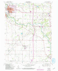
1960 Map of Gas City
USGS Topo · Published 1994About this map
The Mississinewa River winds through this central Indiana landscape, anchoring the neighboring industrial and residential centers of Gas City and Jonesboro. This 1960 era survey, with revisions noted through the early 1980s, illustrates the established grid of Gas City, from Main Street to the numbered avenues, and the prominent municipal City Hall. The surrounding townships of Mill, Monroe, and Jefferson are characterized by a dense network of drainage features like Barren Ditch and Fowlerton Drain, which supported the region's agricultural transition. Further east, the village of Upland is visible, while smaller settlements like Fowlerton and Matthews occupy the southern reaches of the quadrangle. Local history is preserved in the placement of Riverside Cem and rural landmarks such as Harmony Ch and Jefferson Ch, which served these dispersed farming communities before modern consolidation.
Find a feature on this map
63 named features on this map. Tap any name to fly to it.
Don’t see what you’re looking for? This feature index may not catch every label — zoom into the map to look around manually.
Map Details
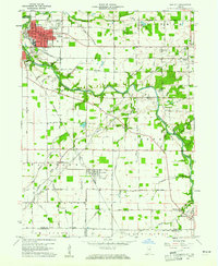
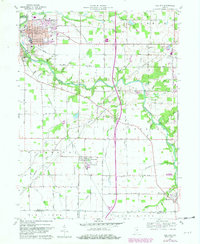
Editions of this 1960 Gas City Map
4 editions found
Other maps of this area

1953 · Muncie
USGS Topo · 1:250,000

1956 · Muncie
USGS Topo · 1:250,000

1960 · Alexandria
USGS Topo · 1:24,000

1960 · Wheeling
USGS Topo · 1:24,000

1960 · Fairmount
USGS Topo · 1:24,000

1960 · Gas City
USGS Topo · 1:24,000

1960 · Gaston
USGS Topo · 1:24,000

1960 · Hartford City West
USGS Topo · 1:24,000

1961 · Marion
USGS Topo · 1:24,000

1962 · Roll
USGS Topo · 1:24,000