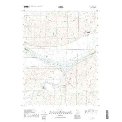
2017 Map of Gasconade
USGS Topo · Published 2017About this map
Gasconade sits at the significant confluence where the Gasconade River meets the Missouri River, a geographic focal point that historically defined regional transit and settlement. The landscape is marked by the transition from the broad, flat agricultural expanses of Morrison Bottom and Best Bottom to the rising elevations of Boland Knob. Transportation history is visible in the corridor of the Katy Trl, which follows the northern bank of the Missouri through Rhineland and past Bluffton. For genealogists, the map is particularly dense with small family and community burial sites, including the Gasconade City, Saint Marcus, Rabenau, and Doecher cemeteries. The interior is dissected by numerous waterways like Quick Creek and First Creek, while the Eu-Wish Airport provides a modern navigational landmark amidst the traditional river-bottom farmlands and wooded bluffs.
Find a feature on this map
88 named features on this map. Tap any name to fly to it.
Don’t see what you’re looking for? This feature index may not catch every label — zoom into the map to look around manually.
Map Details
Editions of this 2017 Gasconade Map
This is the sole edition of this map. No revisions or reprints were ever made.
Other maps of this area
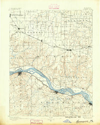
1890 · Hermann
USGS Topo · 1:125,000
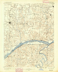
1890 · Fulton
USGS Topo · 1:125,000
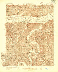
1935 · Morrison
USGS Topo · 1:48,000
1936 · Hermann
USGS Topo · 1:48,000
1940 · Montgomery City
USGS Topo · 1:62,500
1942 · Montgomery City
USGS Topo · 1:62,500
1942 · Morrison
USGS Topo · 1:62,500
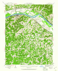
1942 · Hermann
USGS Topo · 1:62,500
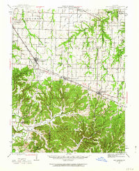
1942 · New Florence
USGS Topo · 1:62,500
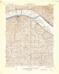
1945 · Hermann
USGS Topo · 1:62,500