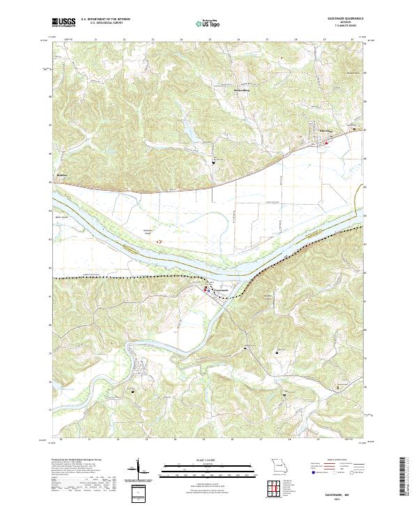
2021 Map of Gasconade
USGS Topo · Published 2021About this map
The Gasconade River and Missouri River converge at the settlement of Gasconade, defining a landscape of deep river bottoms and high bluffs. The northern banks are traversed by the Katy Trl, which follows the old rail corridor through Bluffton and Rhineland. Numerous family cemeteries are distributed across the hills, including Rabenau Cem, Weber Cem, and Oetterer Cem, providing valuable points of reference for genealogical research in this part of Montgomery County and Gasconade County.
Find a feature on this map
89 named features on this map. Tap any name to fly to it.
Don’t see what you’re looking for? This feature index may not catch every label — zoom into the map to look around manually.
Map Details
Editions of this 2021 Gasconade Map
This is the sole edition of this map. No revisions or reprints were ever made.
Other maps of this area

1890 · Hermann
USGS Topo · 1:125,000

1890 · Fulton
USGS Topo · 1:125,000

1935 · Morrison
USGS Topo · 1:48,000

1936 · Hermann
USGS Topo · 1:48,000

1940 · Montgomery City
USGS Topo · 1:62,500

1942 · Montgomery City
USGS Topo · 1:62,500

1942 · Morrison
USGS Topo · 1:62,500

1942 · Hermann
USGS Topo · 1:62,500

1942 · New Florence
USGS Topo · 1:62,500

1945 · Hermann
USGS Topo · 1:62,500